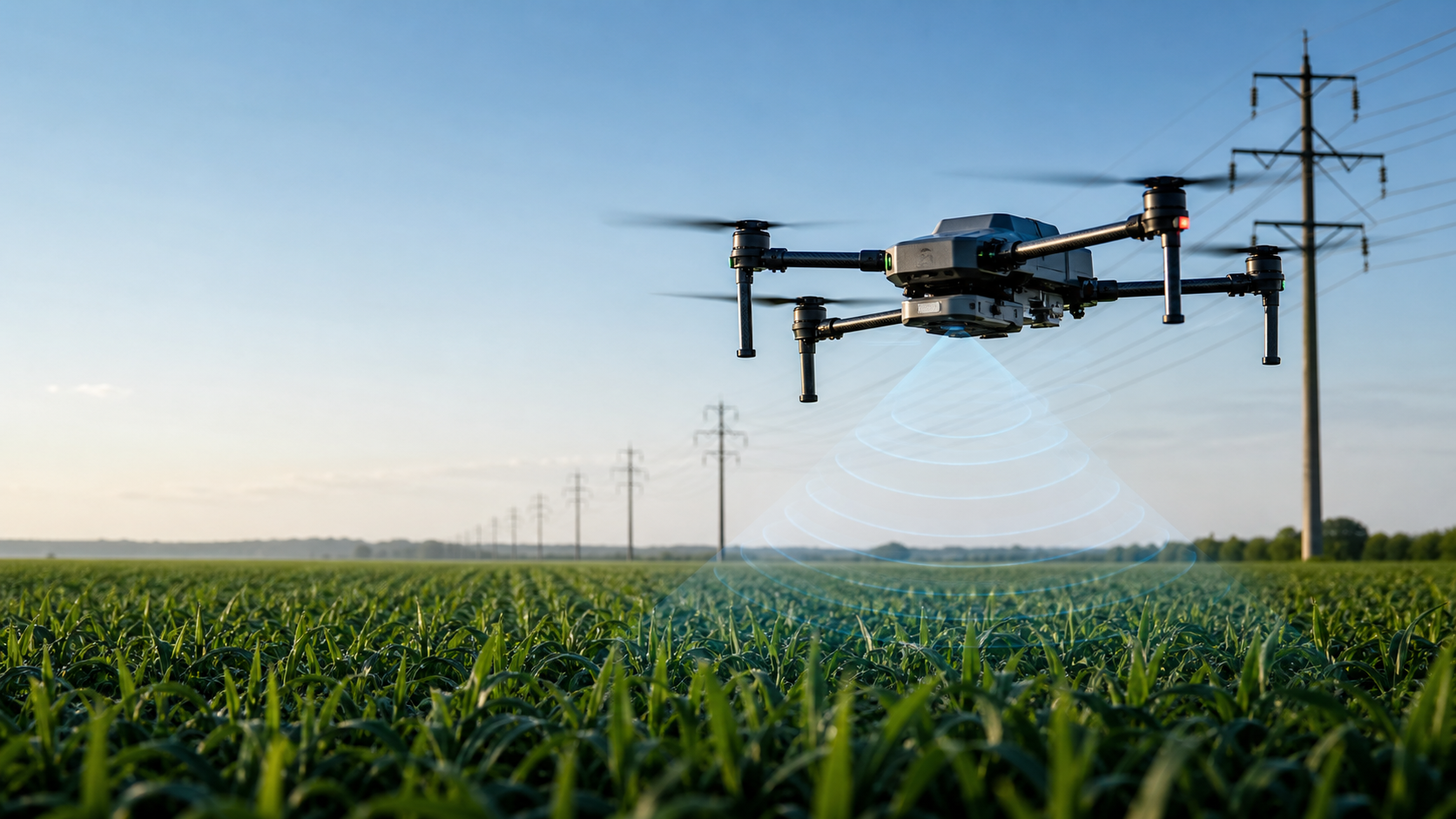
Industrial UAV using radar sensing for terrain following above a crop field

mmWave radar modules for UAV OEMs and integrators

Reliable altitude, terrain and obstacle sensing when vision is not enough.

SOZYIN supplies compact 24GHz, 60GHz and 76-81GHz radar modules for drone altitude hold, terrain following, obstacle avoidance and glass facade operations.

100-1000m altitude range options 81g compact sensor class CAN / TTL integration -40 to 85C operating range
Built for airborne integration

From prototype testing to OEM volume programs.

Competitor sites lead with single products. SOZYIN can lead with a full sensing stack: long-range UAV altimeters, terrain-following radar, obstacle avoidance radar and a dedicated glass facade radar for close-range operations.

2014Company founded
50+R&D and product team
30+Authorized invention patents
Product portfolio

Radar modules for altitude, terrain and obstacle awareness.

MS-UH Series

UAV Radar Altimeters

24GHz and 76-81GHz FMCW / MIMO modules for AGL altitude sensing across 100m, 200m, 300m, 500m, 800m and 1000m ranges.

Weight
81g / 150g
Accuracy
Up to +/-0.1m near range
Interface
CAN / TTL serial
Discuss OEM integration
MS-US01W

Terrain Following Radar

60-64GHz FMCW+MIMO radar with 16 sectors for real-time terrain height scanning over plains, slopes, trees and tall crops.

Range
0.2-60m
Sectors
16
Power
1.2W
Request terrain demo
MS-UA02

Obstacle Avoidance Radar

Forward and rearward obstacle detection for poles, trees and low-visibility environments where camera-only systems struggle.

Range
0.2-60m
Point cloud
300 points
FOV
+/-35 deg horizontal
Evaluate avoidance module
MS-UD01

Glass Facade Radar

Dedicated 24GHz radar for glass curtain wall distance sensing and close-range facade cleaning or inspection platforms.

Ground range
0.2-100m
Glass range
0.2-30m
Refresh
20-200Hz
Plan facade test
Application-first selling

Turn sensor specs into field outcomes.

For overseas buyers, the strongest inquiry path is not a bare datasheet. It is a clear fit between a sensor, an operation, and a test plan.

Precision agriculture

Stable height over crop canopy, slopes and light rain or dust for spraying, spreading and mapping UAVs.

Power and utility inspection

Detect poles, branches and terrain changes with radar redundancy for low-light and low-texture conditions.

Industrial automation

Support drone docks, low-altitude autonomous routes and repeatable site operations in parks and facilities.

Facade cleaning and inspection

Measure distance to glass surfaces for safer close-range operation of building maintenance platforms.

Competitive positioning

A broader radar stack than single-sensor alternatives.

Buyer question Typical competitor message SOZYIN message
Can it cover my whole UAV portfolio? One altimeter model or a narrow range band. Altitude, terrain, obstacle and glass facade modules across multiple frequency bands.
Is it ready for integration? Datasheet plus basic interface notes. OEM kit path with TTL/CAN, integration review, test checklist and application parameters.
Why radar over LiDAR or vision? Focus on product specifications. Clear scenario proof: dust, fog, low light, weak texture, crops and reflective glass.
Conversion assets

Give engineers enough confidence to send a real inquiry.

The website is structured to capture OEM and integrator demand with technical proof, application fit and low-friction next steps.

Request a quote or evaluation kit

Tell us your UAV platform and operating scenario.

For faster evaluation, include target altitude range, obstacle type, flight controller, expected annual volume and target market.

  • OEM and ODM programs
  • Evaluation kits for integrators
  • Application-specific parameter support

Submitting opens a prepared email draft so the buyer can review before sending.